Click on the image above or this link for a zoomable version of the image.
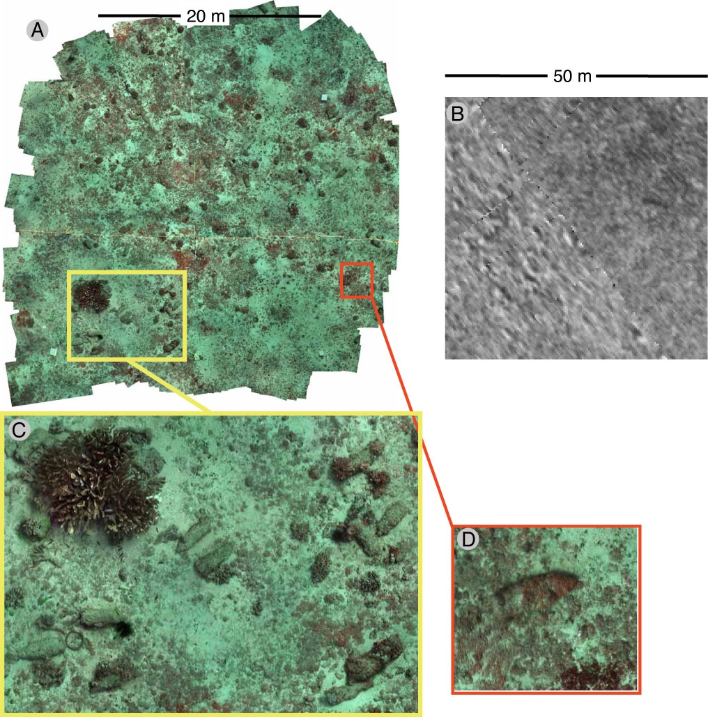
(A) Landscape mosaic of Ordnance Reef off of Waianae, Hawaii depicting branching, lobate, and encrusting corals, a variety of fish, and several 5-inch projectiles proud on the bottom. Total area covered is approximately 450 m^2 with 5 x 5 mm pixels.
(B) Side-scan sonar image including the same area shown in (A). Total area covered is 2500 m^2 with 30 x 30 cm pixels.
(C) and (D) Portions of the landscape mosaic at full resolution give an idea of the detail available. The high resolution provided by underwater imagery combined with the landscape view and georeferencing capability provided by mosaics give great potential to facilitate underwater munitions detection, discrimination from background clutter, and classification.
For more information see www.rsmas.miami.edu/groups/reidlab or contact any of the following:
Pam Reid (preid@rsmas.miami.edu)
Art Gleason (art.gleason@miami.edu)
Nuno Gracias (ngracias@silver.udg.edu)