I have an academic background in geophysics and biogeography, a lot of experience with scientific computing, and enough engineering skills to get ideas off the ground. My passion is to fuse these interests by developing novel remote sensing tools for environmental and conservation applications. I want to help people who need new types of data or more efficient, creative types of analysis. This broad objective has blessed me with a diverse group of collaborators and experience working across a variety of spatial and temporal scales in both marine and terrestrial environments. Individual projects have spanned a range of disciples, but, in general, this work has fallen into three broad themes.
One theme has been the calibration and validation of global satellite products. When I was at the University of Maryland for my Master’s degree, I developed a correction for AVHRR thermal satellite imagery to compensate for orbital drift in overpass time. That turned out to be vital for accurate calculation of satellite-derived net primary production. Since 2013, I have been part of the MOBY team, which produces the only operational, in-situ, validation products for satellite-derived ocean-color data. Clearly, creating an accurate and unbiased satellite record is critical for global and regional scale monitoring and conservation efforts.
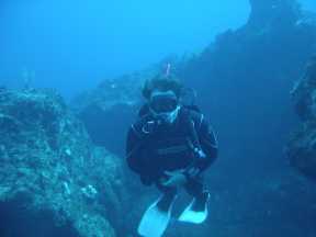
A second theme over the years has been the development of novel technologies for marine habitat mapping. This has included both hyperspectral and multispectral image classification and the development of spectral libraries for benthic components of carbonate sedimentary and reefal systems. I’ve worked with acoustic data, primarily focusing on approaches to classification that will allow acoustically derived maps to mesh with optically derived maps such that a continuous product could be made from shallow to deep water using different survey technologies. Recently I’ve collaborated with the Living Oceans Foundation to publish more than 65,000 km^2 of high-resolution habitat maps for reefs around the world.
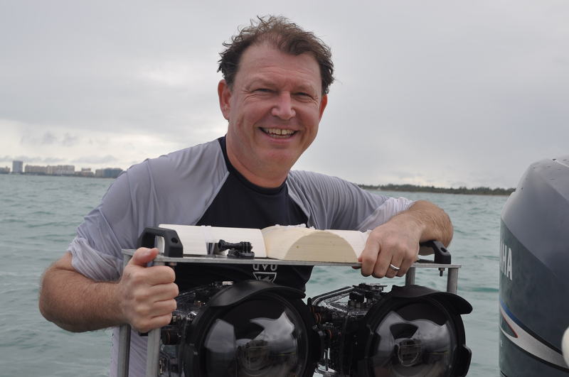
Mosaics of seabed imagery are a third area of focus and may be the most impactful of all my work. In 2003, I assembled a multi-disciplinary team of biologists, geologists, and engineers with the goal of developing practical tools for underwater photomosaic data collection, production, and analysis. At the time, producing underwater mosaics required expensive, specialized survey equipment and a lot of manual labor. In short, this process was too expensive and too complex for routine use by conservation practitioners with, almost by definition, extremely limited budgets. The work of the team was to develop the acquisition techniques, processing software, and analysis tools needed to map and monitor coral reef sites at the scale of mm to 10’s of meters. Through research and then by publicizing these techniques at major conferences like the International Coral Reef Symposium (2008, 2012, 2016) these efforts have led to widespread adoption of photomosaic technology for coral reef science and conservation around the world. As a critical supplement to presentations and publications, I’ve partnered with many research and conservation organizations to promote the adoption of photomosaic technology (Sandin Lab at Scripps Institute of Oceanography, The New England Aquarium, at least 6 research or management groups within NOAA, the Coral Restoration Foundation, The Nature Conservancy, Florida Department of Environmental Restoration, Florida Fish and Wildlife Conservation Commission, the Field Museum of Natural History, the Living Oceans Foundation, University of North Carolina Wilmington, Boston University, and the U.S. Navy, among others).
Underwater mosaicking technology has come a long way since we started this work back in 2003. Combine the current generation of outstanding underwater digital cameras and commercially available structure-from-motion photogrammetric software with general acceptance by coral reef scientists of all stripes, and it may seem that there is nothing more to do with respect to developing photomosaics for coral reef conservation. On the contrary, we are entering the golden age of underwater landscape mosaicking because the technology is finally mature enough to actually USE for conservation. Thankfully, a recent award as a 2020 Pew Marine Fellow has given me the opportunity to do just that. The question is how best to exploit these data for conservation goals? How to use these tools to compare efficacy of methods not only within separate field sites, but also to compare among sites? There are many scientific questions we can address with mosaics now, and these are my latest directions for research.