What is an Underwater Landscape Mosaic?
A landscape mosaic is simply a series of many overlapping images that have been stitched together to make a single larger image. The three general steps required to make a mosaic are:
- Acquire numerous overlapping images with a downward looking camera.
- Register the images so that they are in the proper position relative to one another.
- Blend the individual images together to make a single larger image.
The video below illustrates how multiple overlapping frames stitch together into a single composite image, or mosaic:
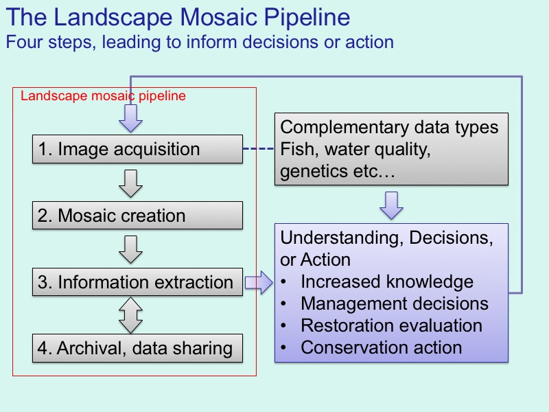
The Landscape Mosaic Pipeline
The three steps of making the mosaic comprise the first two parts of the "landscape mosaic pipeline," shown below.
The concept of the pipline is more important than the software or hardware used. Indeed, there is a great deal of flexibilty in the overall process. Each step of the pipeline could be accomplished using numerous different techniques. For example:
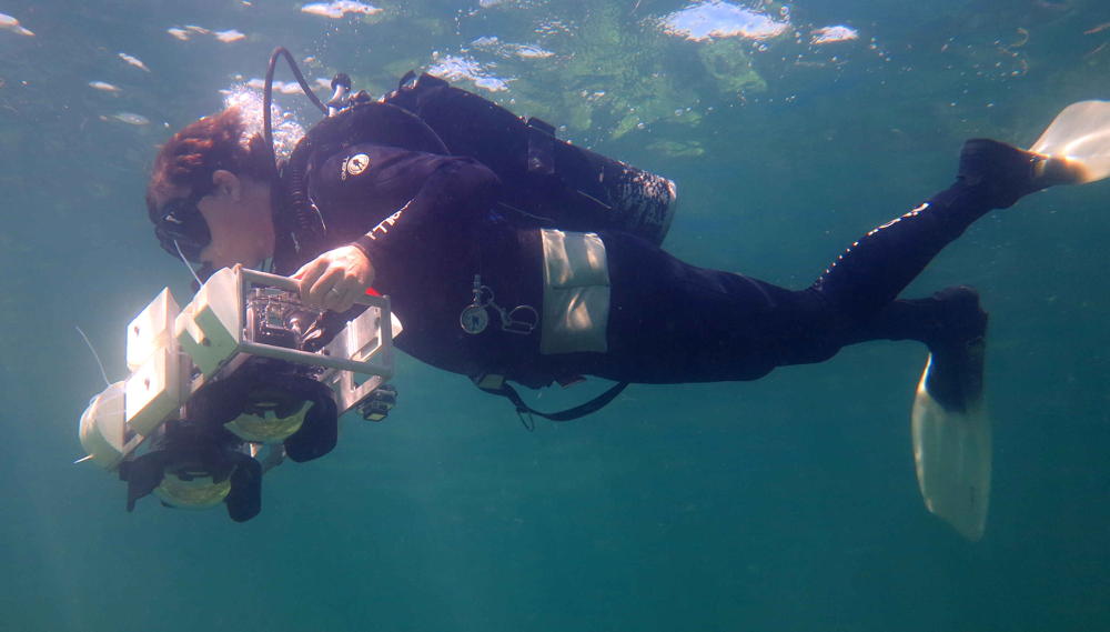
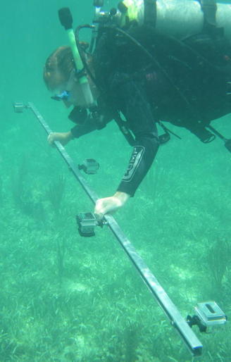
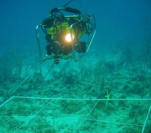
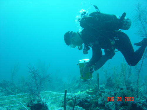
1. Image acquisition can be accomplished with almost any near-nadir view camera. Examples shown in the images on this page inlcude both single and dual diver-based systems, ROV-based stereo cameras, and a diver-based multiple GoPro camera rig.
2. Mosaic creation used to require custom software, programming, and / or engineering experience. For many years, all of our mosaics were created with sofware by Nuno Gracias, now at the University of Girona, Spain. Nuno and I still use this code for experimentation and development purposes, but nowadays there are many commercial and open-source solutions for mosaic creation.
3. Information extraction methods depend on what information you are trying to extract. Many approaches and sofware soluitons can be used. Point counting can be done with things like ImageJ, CPCe, and Matlab. Polygon digitizatin can be done with programs like Photoshop, Arc GIS, qGIS, Grass, Global Mapper or any other GIS program. Many efforts to automate information extraction from imagery or mosaics are under development. Much of this comes down to what you have available and what the goals of the project are.
4. Archival and data sharing is the least well developed but, in the long run, likely the most important part of the pipeline. I'm committed to sharing mosaic data, and working on builidng a better platform to do that. Please contact me if this is of interest to you; partners in this endeavor are always welcome!
Some acquisition platforms