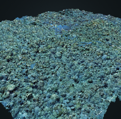
Mosaic Data
Underwater landscape mosaics are more cost-effective, and therefore more valuable, the more times they are used and with the more types of data that are extracted from them. (This is true of remotely sensed data of any type, by the way.) For this reason, I am committed to posting data processed in our group at U. Miami.
We have an online archive with almost everything we've processed since 2013, and with some data going back as early as 2005. Initially, the main use of the archive was just a quick way to deliver data to partners on various projects. Over time, however, the archive became a valuable resource for all sorts of unforseen purposes. For example, these data were valuable for the response and monitoring efforts following hurricane Irma, and as part of the ongoing stony coral tissue loss disease event.
I'm in the process of migrating these data into a modern, searchable database. This effort is going to take some time, however. In the interim, the original, static, html-based archive is still available for use. Many examples in that archive are viewable on line using Zoomify or Potree.
Special Collections

Large-area mosaics
Our team has been steadily working towards increasing the area that can be mosaicked at high resolution. This page summarizes results over the years, giving an indication of the progress and current limits of the technology. Read more...
 ART GLEASON | Underwater Landscape Mosaics